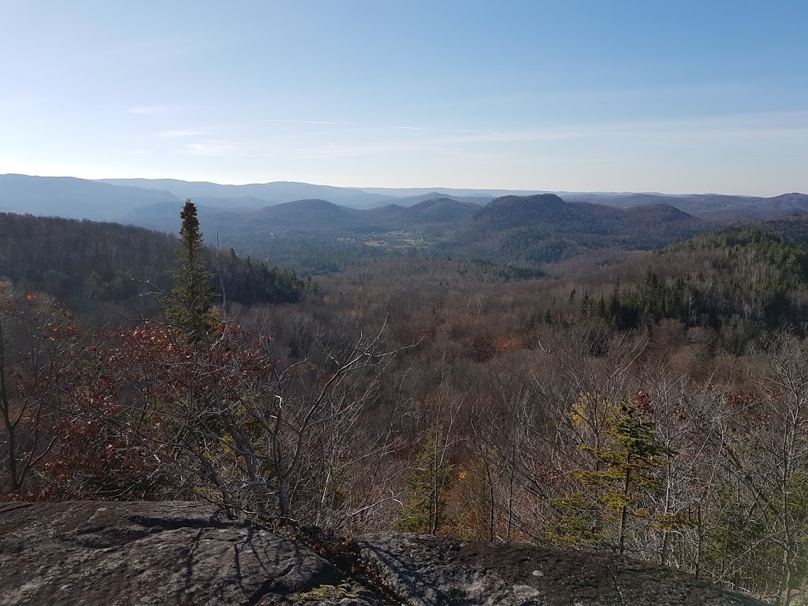
Landscape analysis
What is it about?
It consists of an analysis using the World Construction Set 6.86 (WCS) software. It illustrates, according to various points of view, the predictable impact of a given human intervention. (For example, logging operations, a real estate development project or a telecommunications tower.)
The software provides an image resulting from many preset parameters:
- Real vegetation on site
- Contour lines (elevation)
- Road, path, urban perimeter
- Seasons, atmospheric conditions
- Human or non-human disruptions (f. ex., logged area, fallen trees)
The greater the level of detail, the closer to reality is the image generated by the software.
What for?
The landscape analysis may be a useful decision-making tool for municipalities, holders of Timber Supply and Forest Management Agreements (TSFMA), regional county municipalities (RCM), lake associations, real estate developers, and individuals.
The images resulting from the analysis demonstrate if the impact of your project on the surrounding landscape is significant or not.
This process is recognized as the most effective one among those used to interpret the impact on the landscape.
Here is what I offer
- A visual rendering with details on the approach
- An expert opinion on the impact of the submitted project
- A follow-up
